For a couple of weeks, I am on a quest. Working on the Transparent Water project, one of the primary needs is to connect water-quality reports with Geo-location.
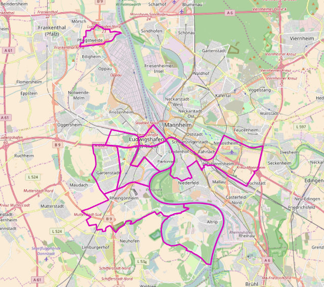
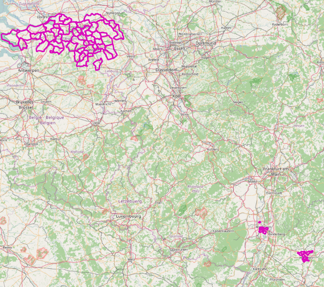
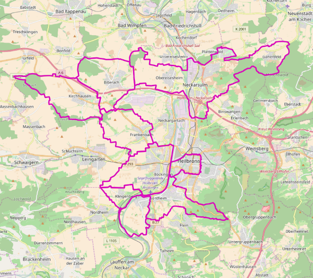
In the original project that has no API, picking a place and then a suburb was the way to go for getting insight. When I designed the new version, I decided I wanted to implement a geocoder and once the geocoder would return a latitude/longitude; lookup the water-quality. This required an extra abstraction to the model; zones. A zone is a geographical polygon that (roughly) defines where a water-plant pumps water. Ideally, zones would be directly related to the “catchment area” of such a plant, as companies measure the quality at their plants.
However, most water-companies report water-quality in a variety of ways. Some report related to plants, but do not give information about the zone, others report per city or place, others produce huge lists of (partial)streets for the quality. As if they have been taking water samples in all streets in your town! Some use obscure district naming that is not directly but “kind of” related to official administrative areas (Such as “northern part of place X”).
I have been cutting, pasting, looking up names on wikipedia, guessing and correcting as much as possible. The maps are what I have so far.
And this is only half the job. Next step is getting the quality-reports in a machine-readable format. Most water-companies in the Netherlands give their customers PDF files. I sent out an inquiry to request for better data. One of the 10 companies is “looking into it”, one declined my request stating; “We offer enough to our customers already” and 3 did not respond in any way. But I will keep looking and searching and hopefully one day the companies will open up. Till then, all I can do is roll up my sleeves.